Rwanda has installed flood sensors and hydrological stations as part of its response to extreme weather events and potential flash floods.
The most important feature of the flood sensors is their use of SIM cards, which will allow real-time data transmission from flood-prone areas to a central data base monitored by the Water Monitoring and Quality Control Division.
“The flood sensors will be updating us – in between every 5 and 15 minutes – about water levels, quantity, depth, and speed of the stormwater in rivers and drainages, ” Davis Bugingo, the Flood Management and Water Storage Development Division Manager at Rwanda Water Resources Board (RWB) said, as reported by New Times.
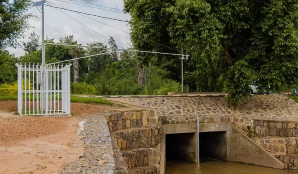
The flood monitors, which are equipped with wave sensors and placed near rivers, aid in gathering data on fluctuations in water levels.
“We receive the information in real-time on our server, allowing for swift action in the face of imminent flooding. This advance warning system will bolster our flood prediction capabilities,” Duhuze explained
The flood sensors will serve as a critical tool for alerting the ministry responsible for emergency management and rapid response institutions.
Kigali City installed 15 hydrological stations strategically across the city last week, including Gisozi, Kibagabaga, Kinamba, Mpazi, Mulindi, Mulindi-Ndera road, Rufigiza River, Karuruma, Rugenge-Rwintare River, and Rugunga.
These targeted areas include places with rivers and drainages that are prone to flooding.
Rwanda’s government, in partnership with the Water Monitoring and Quality Control Division has set up seven Automated Weather Stations (AWS) at Nyarugenge Hospital, EP Gatenga, Rusororo, Rubungo, Kinyinya Sector office, Nduba, and Jali.
“We are targeting areas where storm water converges to cause floods. We have identified catchments such as those of Rwandex, Rugunga, Gikondo, Kinamba, Nyabugogo, Nyamirambo and others,” Remy Norbert Duhuze, the Manager of the Water Monitoring and Quality Control Division said, as reported by new times.
This rapid response will enable quick evacuations when necessary, ensuring the safety of residents.
Building owners will also have access to flood status information, allowing them to make informed decisions and improve the resilience of their infrastructure.